
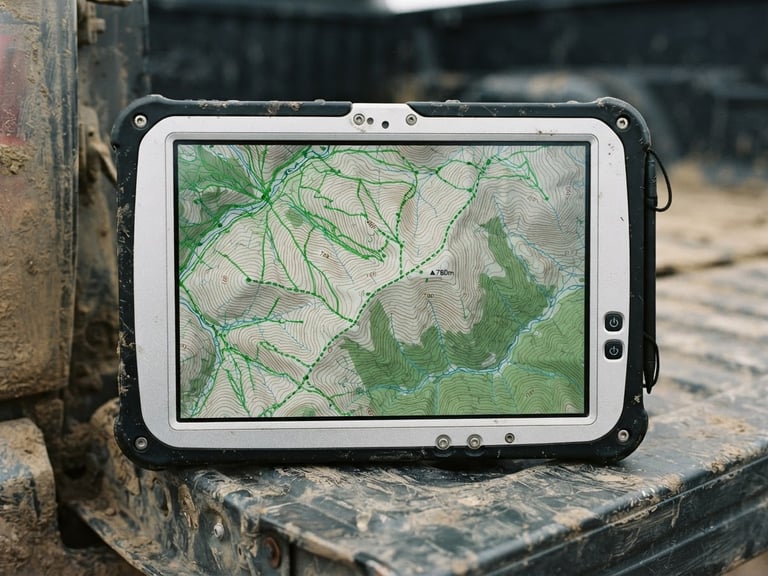
Macro shot of a ruggedized tablet screen showing high-resolution topographic contour lines and crisp green vector paths, resting on a truck tailgate, overcast daylight.
/ DESKTOP-GRADE GIS

Zero-signal field operations.

Process complex CAD files, run vector buffer calculations, and edit spatial databases directly on rugged devices. No cellular networks or cloud preprocessing required.

CORE ENGINE

On-device spatial math.

Geometry Snapping

QGIS Symbology

Raster Calculations

Align survey points, property boundaries, and utility lines perfectly in the field. Our intelligent snapping engine corrects coordinates locally without manual editing.

Style vector layers dynamically using categorized or graduated rules. Stretch raster values with two-to-ninety-eight percent linear contrast enhancements for drone surveys.

Run algebraic operations on elevation models or multi-band imagery directly on site. Calculate metric buffer zones and split polygons with precise gesture tools.

SPECIFICATIONS

Engineered for raw data.

Format Support

Data Security

GPS Tracking

Natively import Shapefiles, KML, GeoJSON, CSV, GPX, and MBTiles. Export complete GeoPackages containing your geotagged inspection photos directly to local storage.

Protect field surveys and intellectual property with hardware-backed database encryption. Collected assets remain fully secured even if devices are lost.

Record background tracks using custom power profiles to balance logging precision and battery life. Monitor active satellite constellations and accuracy metrics.

Ready for the ridge?

Equip your field engineering and surveying teams with desktop-grade GIS tools that operate entirely offline. Request a technical demo or custom licensing trial today.