
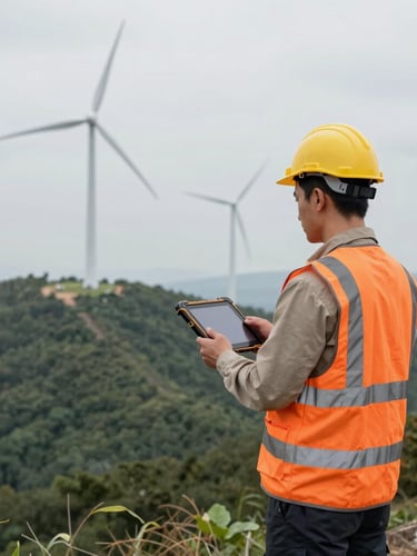


Precision in the wild
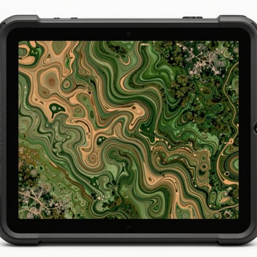
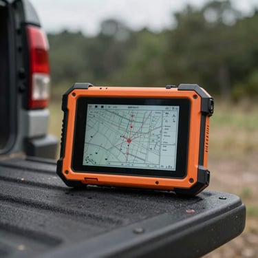
VectoTrail replaces fragile consumer apps with a ruggedized spatial database. Your teams collect data with absolute reliability, even hundreds of miles from the nearest cell tower.
Watermarked asset tracking
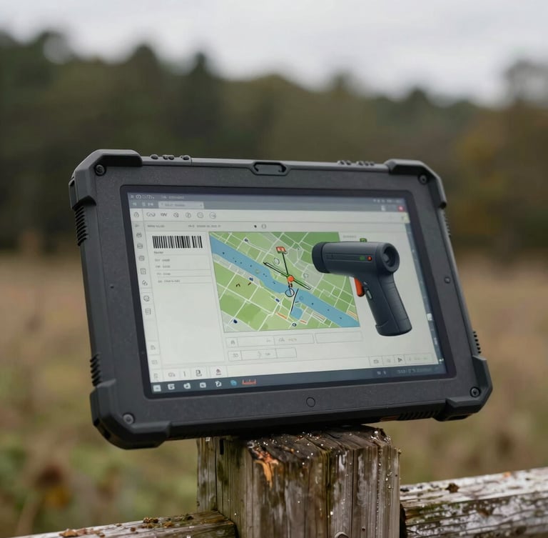
Document utility assets using structured digital forms, offline barcode scanners, and auto-georeferenced photos. Overlay permanent watermarks showing coordinates, orientation, and timestamps directly on site.
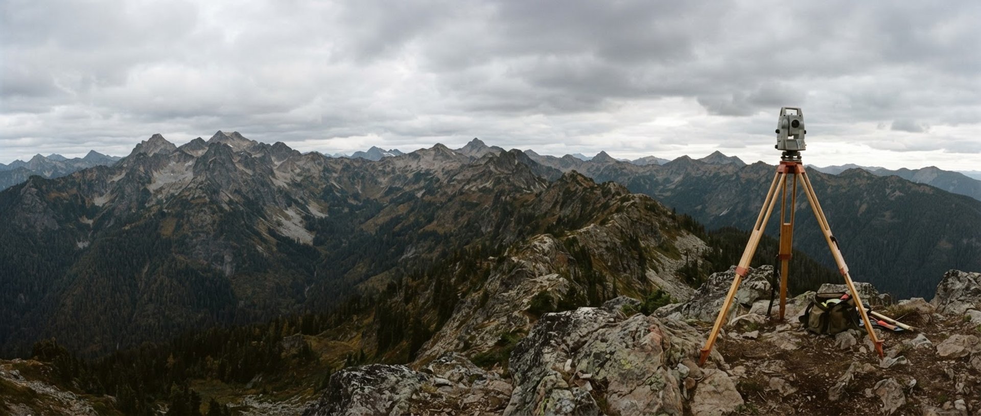
Zero-signal surveying
Perform precise boundary surveys using an intelligent geometry snapping engine. Run metric buffer calculations and split polygons directly on-device with hardware-backed database encryption.


Tactical mapping interface
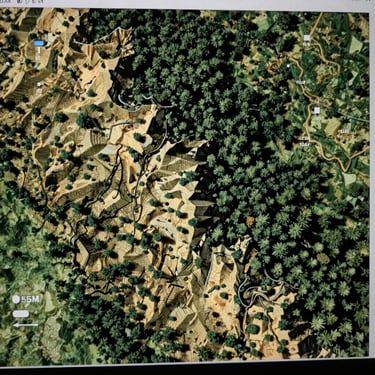
Inspect high-resolution topographic contours, QGIS-style layer symbology, and georeferenced engineering blueprints rendered on the fly.
Equip your field teams
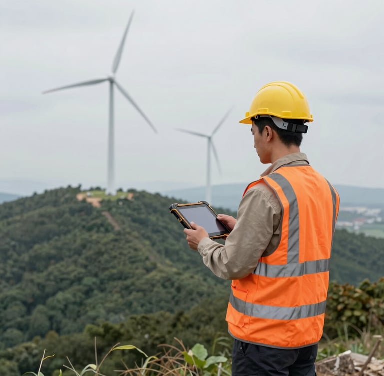
Deploy VectoTrail for offline infrastructure surveying, asset tracking, and remote engineering operations. Secure your field data today.